WHiCH (Western Himalaya Canopy Height) Map 2020, Pakistan
Zenodo, 2025 · DOI: 10.5281/zenodo.18056032
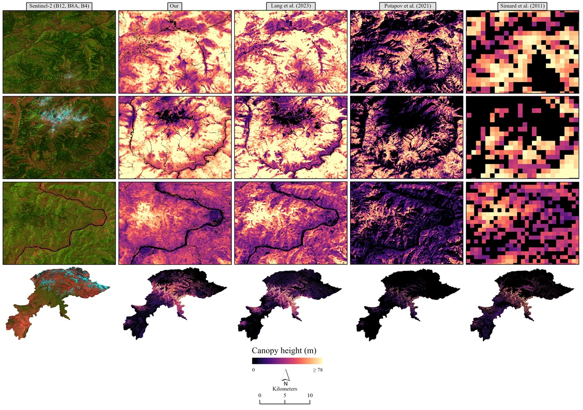
10 m canopy height map of Pakistan’s western Himalayas for 2020, produced by fusing GEDI LiDAR with Sentinel-2 imagery in a deep learning model.
Home / Data & Tools
Open geospatial datasets, research software and Earth Engine apps, released so that students, researchers and planners can build on them.
Published research datasets, free to download.
Zenodo, 2025 · DOI: 10.5281/zenodo.18056032
10 m canopy height map of Pakistan’s western Himalayas for 2020, produced by fusing GEDI LiDAR with Sentinel-2 imagery in a deep learning model.
Zenodo, 2024 · DOI: 10.5281/zenodo.10694225
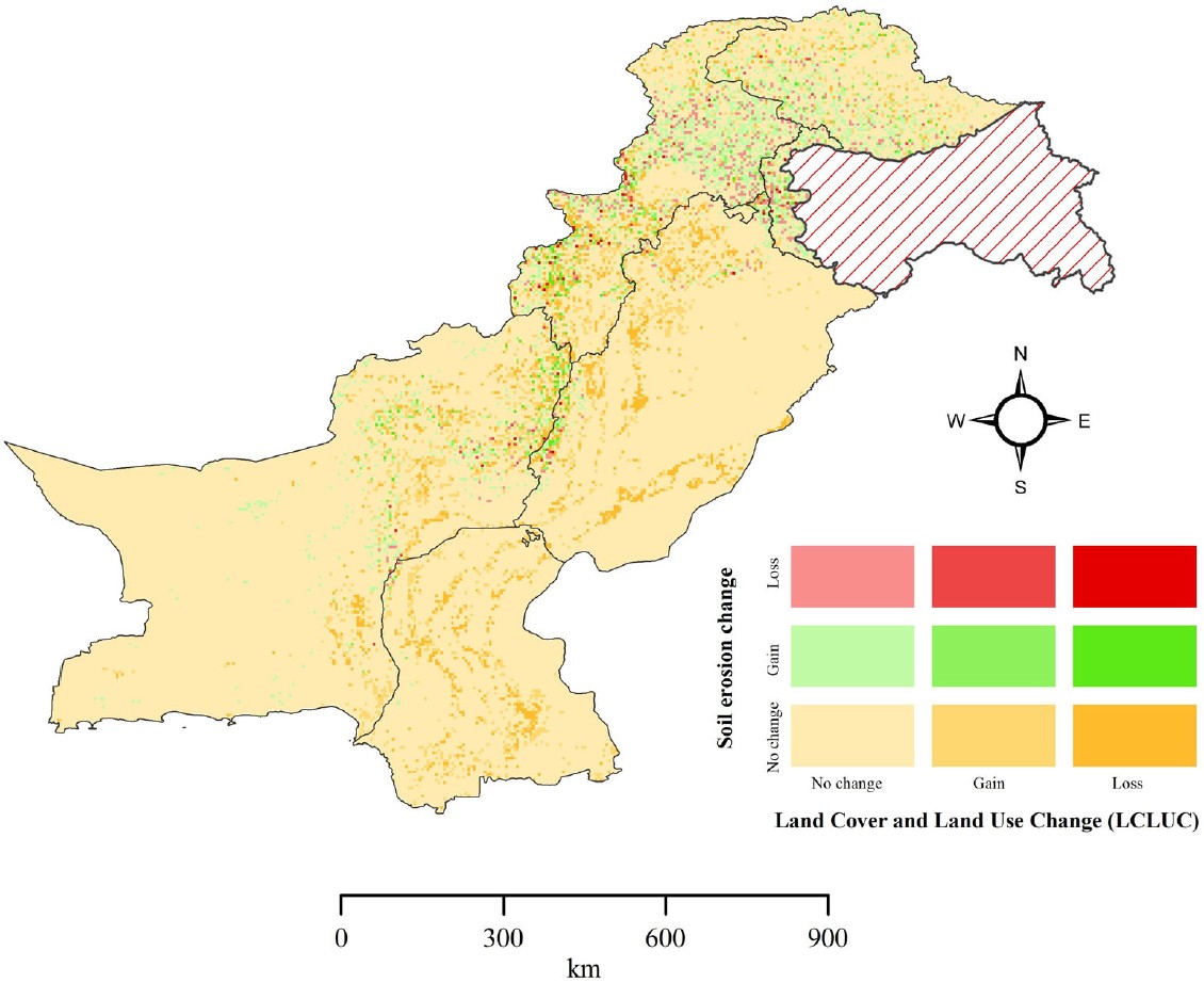
RUSLE-based annual soil loss maps for all of Pakistan for 2005 and 2015, released with our Land Degradation & Development study.
Benchmark dataset, 2025 (AAAI-25)
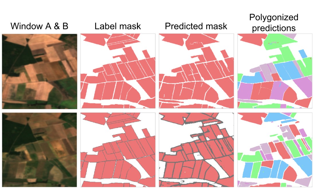
Over 1.6 million labelled field parcels across 24 countries on four continents for training and testing field boundary segmentation models.
Open software and platforms built at the GeoScape Analytics Lab (GSAL).
Software, v1.0.0, 2026 · DOI: 10.5281/zenodo.22807356 · MIT License
A free literature-discovery tool that searches GIS, remote sensing, Earth and environmental science papers, filtered to Pakistan-focused research by default.
Open data platform, 2026
A curated index of freely accessible, peer-reviewed geospatial datasets covering Pakistan.
Interactive Google Earth Engine apps for exploring the datasets.
Google Earth Engine App
Interactive viewer for the Western Himalaya canopy height map.
Google Earth Engine App
Explore national soil erosion estimates and their change between 2005 and 2015.
Google Earth Engine App
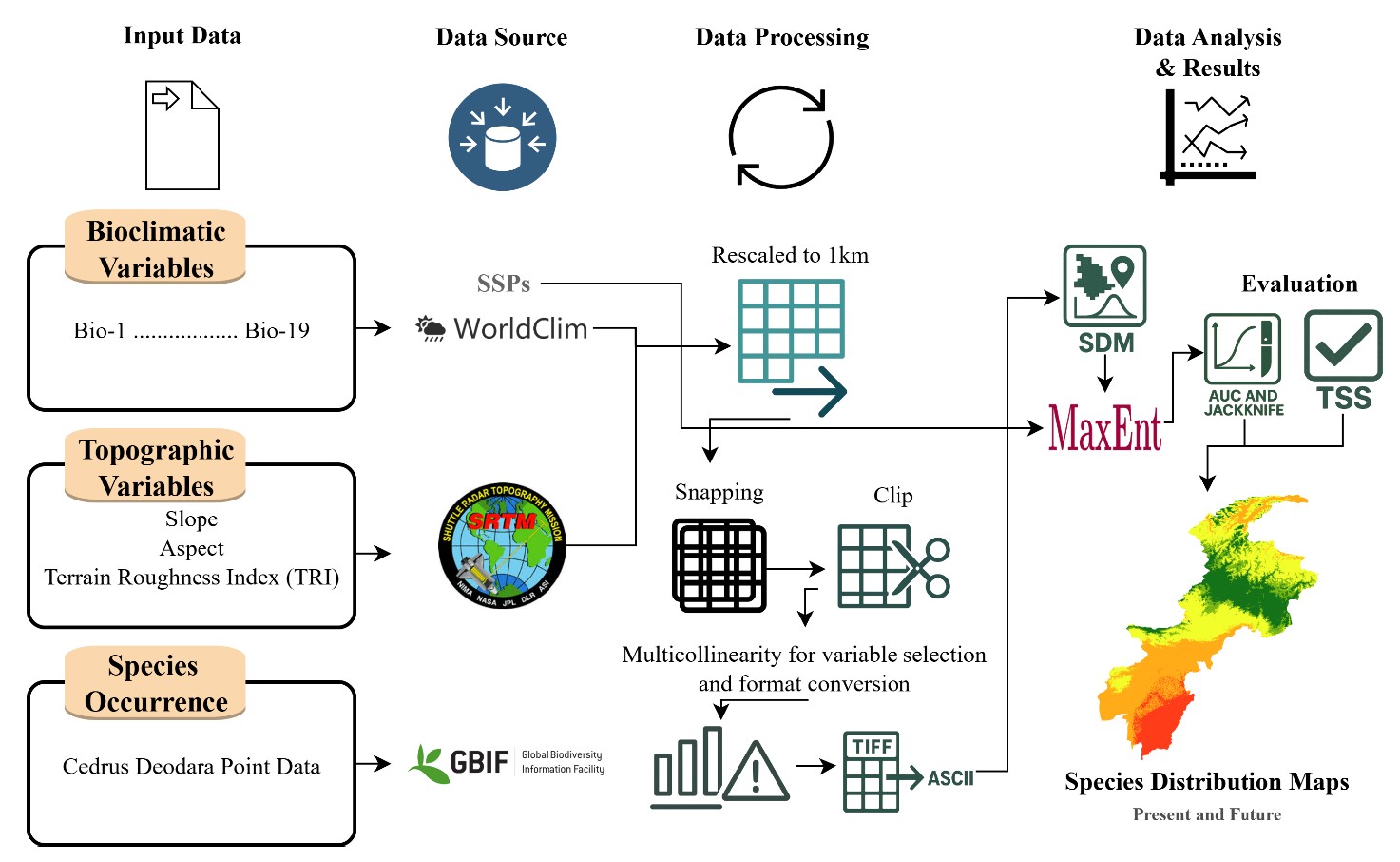
Current and future habitat suitability of Cedrus deodara under climate scenarios.